← Back to services
Geospatial & Spatial Intelligence

Photogrammetry Services for Accurate 2D Mapping & 3D Modeling

✦ Transform Images into Accurate Spatial Information

Photogrammetry is a powerful technology that converts photographs into meaningful spatial data, accurate maps, and detailed 3D models. By analyzing images captured from different angles, businesses can gain a clearer understanding of land, buildings, infrastructure, and natural environments. At TRISET Solutions, we provide photogrammetry services that help transform visual information into practical insights for planning, analysis, and informed decision-making.

Our photogrammetry solutions combine modern image-processing techniques with geospatial technologies to create reliable digital representations of real-world locations. Whether you need aerial mapping, terrain modeling, or 3D reconstruction, we focus on delivering spatial outputs that align with your project requirements.

triset.com/photogrammetry
● 3D Point Cloud Active
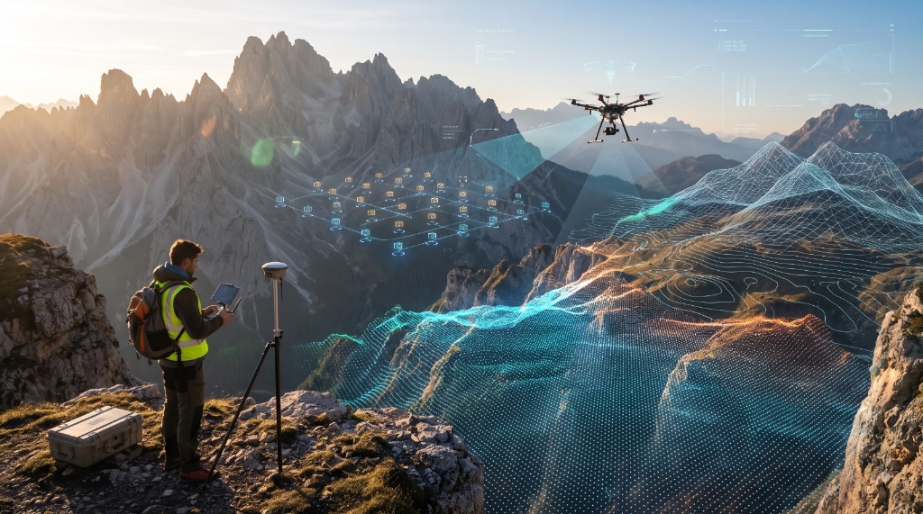
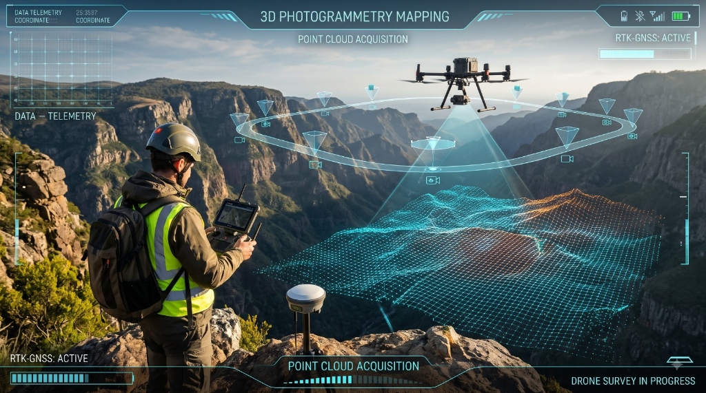
Drone survey and 3D point cloud photogrammetry mapping
0%
Georeferenced Precision
0D/3D
Mapping & Modeling Outputs
0.8%
Surface & DEM Accuracy
GIS/CAD
Ready Integration

The Science of Spatial Capture

What Are Photogrammetry Services?

Photogrammetry is the science of obtaining measurements and spatial information from photographs. Images captured using drones, aerial cameras, or other imaging equipment are processed using specialized software to identify dimensions, surface features, elevations, and spatial relationships.

This process helps convert raw imagery into useful digital assets, including 2D maps, 3D models, orthophotos, digital elevation models, and point clouds. These outputs allow professionals to visualize locations, examine terrain, assess existing conditions, and support project planning with detailed visual information.

At TRISET Solutions, our approach focuses on making complex spatial data easier to understand and more useful across different industries.

High-tech aerial drone survey with 3D elevation wireframe contour mapping

Comprehensive Capabilities

Our Photogrammetry Solutions

Structured spatial outputs engineered for engineering, planning, measurement, and visualization:

Capability 01

1. 2D Mapping and Cartography

Accurate maps are essential for land development, infrastructure planning, and geographic analysis. Our 2D mapping services transform aerial and other suitable imagery into detailed map outputs that represent roads, buildings, boundaries, and other visible features. These maps help organizations understand site conditions and support location-based planning.

Capability 02

2. 3D Modeling and Reconstruction

Our 3D photogrammetry services convert overlapping photographs into digital representations of real-world objects, structures, and landscapes. These models help users visualize physical environments from different perspectives, understand spatial relationships, and communicate project details more effectively. They can support engineering, construction, infrastructure documentation, and visualization workflows.

Capability 03

3. Orthophoto and Image Mosaicing

An orthophoto is an aerial image corrected for geometric distortions so that it can be used for mapping and spatial analysis. Through orthophoto generation and image mosaicing, multiple images can be combined into a consistent, detailed visual representation of an area. These outputs are useful for land-use assessment, site monitoring, urban development, and project documentation.

Capability 04

4. Digital Elevation and Terrain Models

Understanding the shape and elevation of land is important for construction, drainage planning, environmental studies, and infrastructure development. We support the creation of digital elevation models (DEM) and related terrain products from suitable spatial datasets. These models help professionals examine elevation differences, terrain characteristics, and surface conditions for further analysis.

Capability 05

5. Point Cloud Generation and Processing

Point clouds consist of collections of three-dimensional data points that represent the surfaces and shapes of physical environments. Photogrammetry can generate point clouds from overlapping images, providing detailed spatial information for visualization, measurement, and 3D reconstruction. Depending on the project, these datasets can support engineering, mapping, and digital modeling applications.

Capability 06

6. Drone Image Processing and GIS Integration

Drone imagery provides a flexible way to collect visual information across large areas and difficult-to-access locations. Our drone image processing capabilities help convert captured imagery into structured spatial outputs. When integrated with Geographic Information Systems (GIS), this information can support geographic visualization, spatial analysis, land assessment, and infrastructure planning.

Industry Applications

Industries That Benefit from Photogrammetry

Photogrammetry has applications across industries that depend on accurate visual and spatial information.

Construction and Infrastructure

Support site documentation, project planning, terrain assessment, and progress visualization.

Urban Planning and Real Estate

Help evaluate land characteristics, understand site layouts, and visualize development areas.

Agriculture

Support field mapping, terrain analysis, and the assessment of agricultural landscapes.

Environmental Management

Assist with landscape documentation, land-use monitoring, and environmental assessment.

Mining and Surveying

Provide terrain models, spatial datasets, and visual information that support site analysis and planning.

Application Note: The suitability of each application depends on image quality, capture conditions, project requirements, and the accuracy needed for the intended use.

Our Commitment to Quality

Why Choose TRISET Solutions for Photogrammetry?

At TRISET Solutions, we understand that every project has different mapping, modeling, and data-processing requirements. Our focus is on developing practical geospatial solutions that help clients turn visual information into usable digital outputs.

We emphasize project-specific workflows, organized spatial data, and outputs designed around the client's objectives. By combining photogrammetry with mapping, terrain modeling, drone imagery processing, and GIS capabilities, we help businesses build a clearer understanding of their physical environments.

Project-specific processing workflows
CAD, BIM & GIS-ready deliverables
Accurate orthomosaics & elevation models
Reliable quality control & data governance

Get Started

Get Started with Our Photogrammetry Services

Whether your project involves aerial mapping, 3D reconstruction, terrain modeling, or geospatial data analysis, TRISET Solutions can help you identify an appropriate photogrammetry workflow.

Contact our team to discuss your project objectives, available imagery, required deliverables, and technical specifications. Together, we can determine a suitable approach to transform your images into meaningful spatial information.

TRISET Solutions — Turning images into actionable spatial insights. Ready to discuss your site, imagery, or modeling requirements? Let's connect.